
Choose options
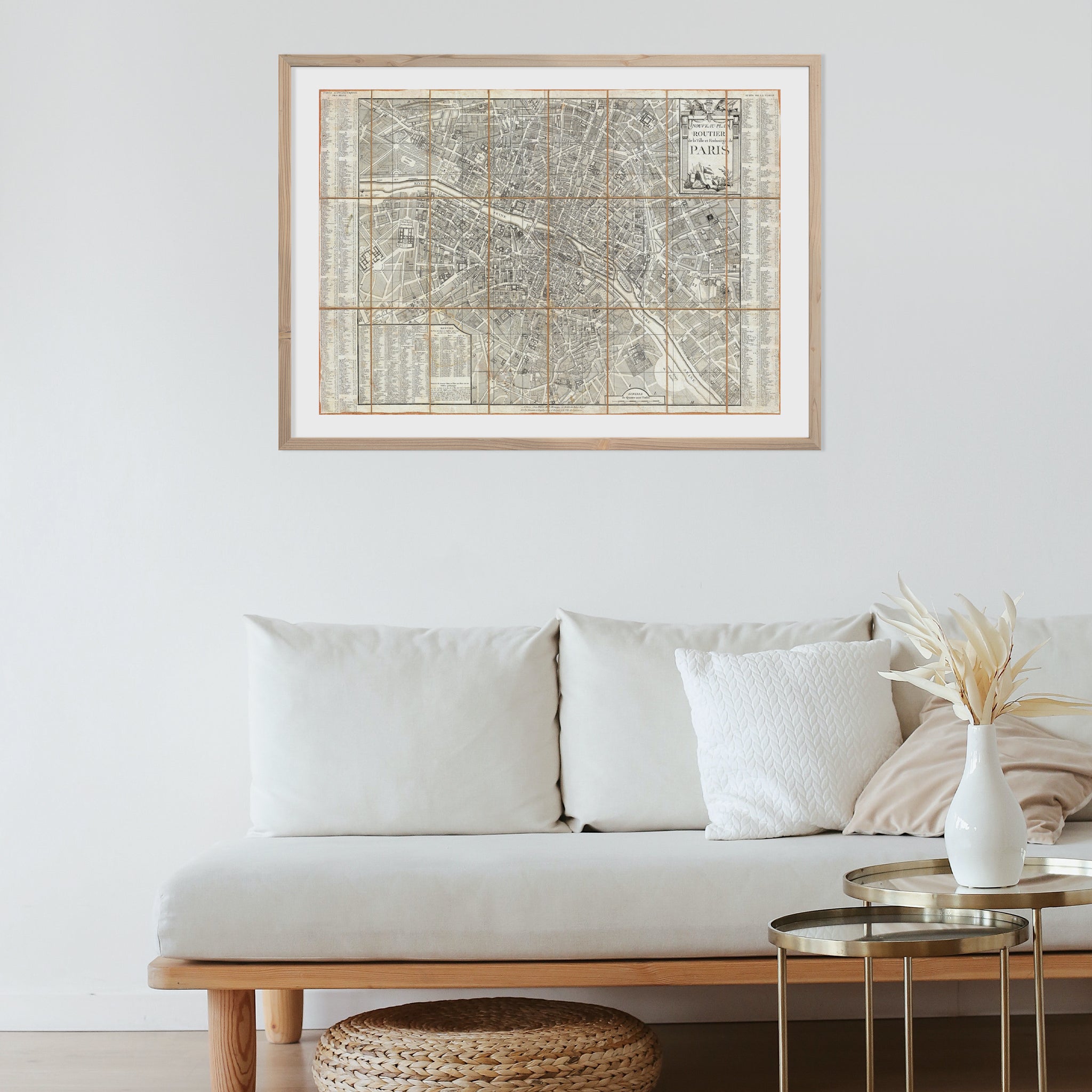
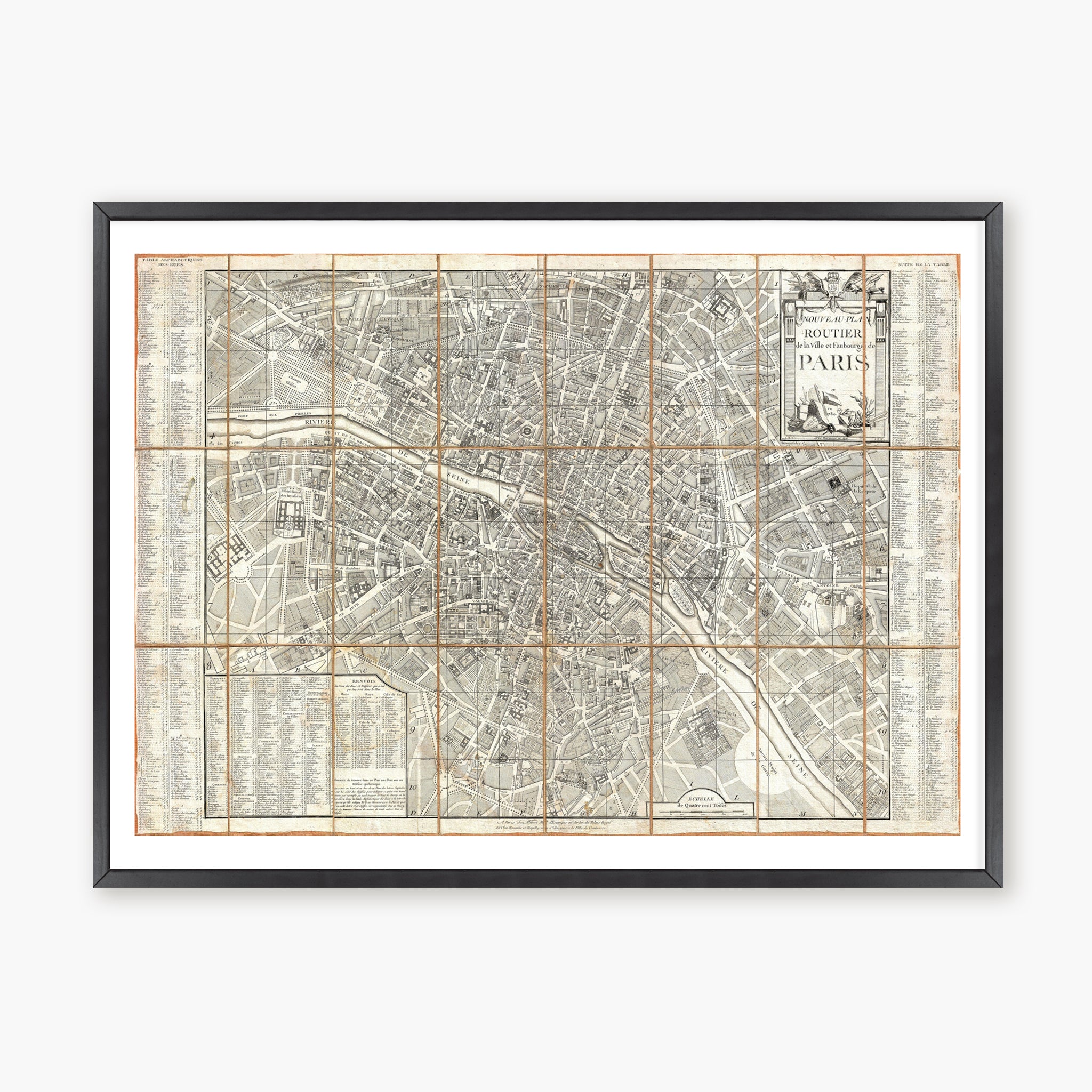
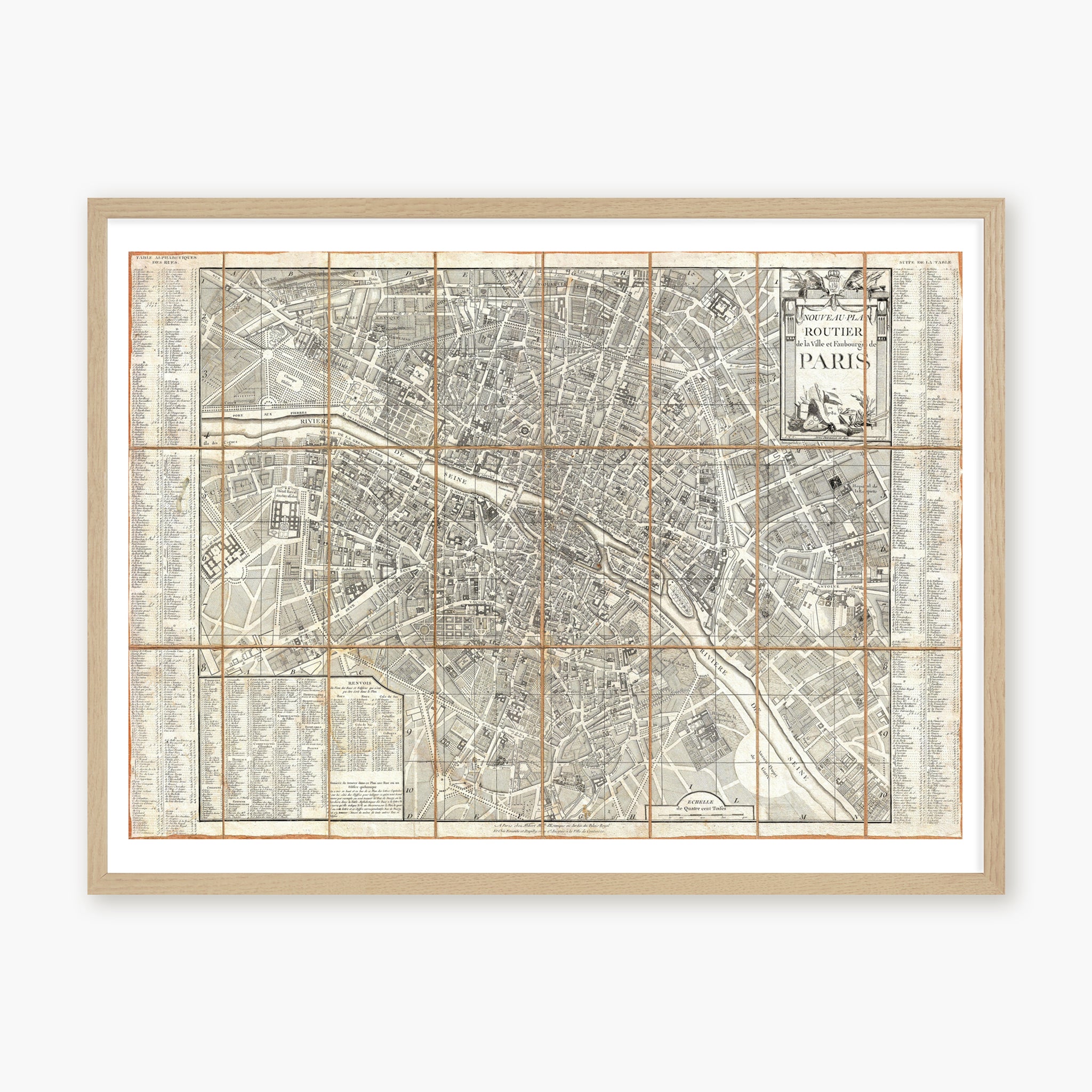
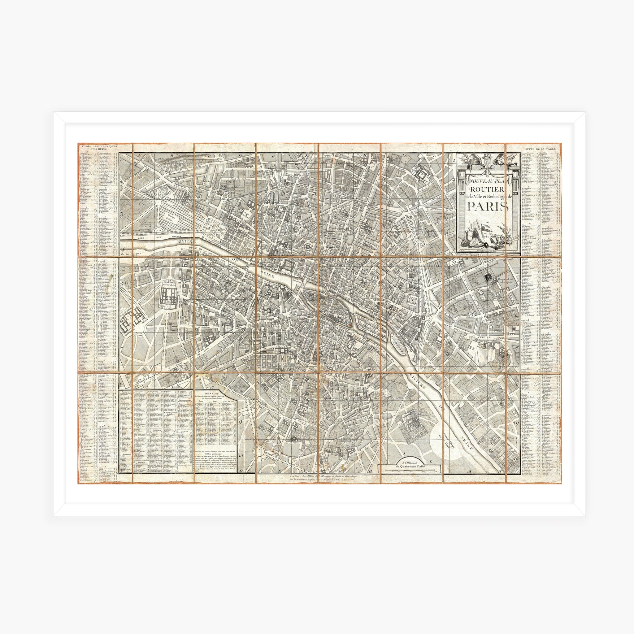
AN ARTWORK CREATED BY
Archives

Our prints are produced in our own workshop on a matte white 235g fine art paper with a velvety feel, using professional printers dedicated to art prints. Our solvent-free pigment inks deliver great color depth and a lifespan of over 75 years.
For framed prints, each one is mounted on a rigid board before being placed in the frame. This invisible step ensures perfect flatness and prevents the print from warping with humidity changes.
Our prints are made to order only, to avoid overstock and waste.
The paper used is FSC Mix certified, guaranteeing responsible forest management.
We offer different molding styles to suit every decor:
Black aluminum: Classic and timeless, a simple profile slightly rounded on the face. The same profile is used for all sizes from 18x25cm to 70x100cm.
Natural oak: Warm and elegant, our oak frame comes in two widths. We use a slim molding (12x22mm) for frames from 18x25cm to 50x70cm, and a wider molding (30x30mm) for the 70x100cm size.
White: Modern and clean, we offer three types of white frames:
- From 18x25 to 30x40cm, a slim 12x22mm lacquered wood molding
- From 40x50 to 50x70cm, again in 20x20mm lacquered wood
- The 70x100cm size is in white aluminum, in a slim, elegant 10x20mm molding
All our frames feature a premium plexiglass front for maximum impact resistance and perfect transparency.
Unframed prints: shipped flat up to 50x70 cm, then rolled in a protective tube for larger sizes.
Framed prints: protected by a premium plexiglass front and packaged with the utmost care to ensure they arrive in perfect condition.
Shipping is handled by Colissimo or Chronopost for small parcels, and by specialized carriers (FedEx, UPS, DHL…) for larger sizes.
Your recent explorations
Frequently asked questions
The size given (e.g. 30x40cm) refers to the size of the print, i.e. the inside of the frame.
Depending on the frame chosen, add the molding thickness (1 to 3 cm) to get the total framed size.
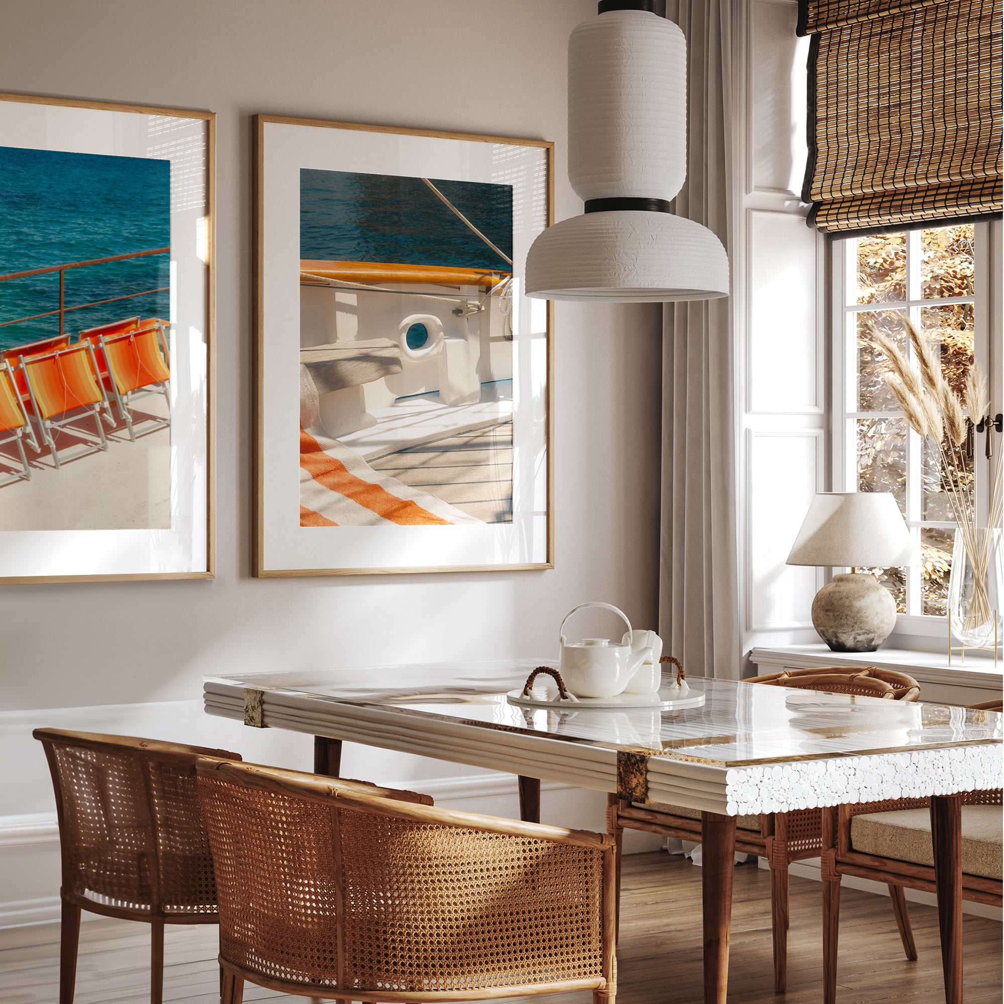
A mat is a thick white board placed between the print and the frame. It creates a border around the image, helping to showcase it and give an elegant presentation.
The image is not cropped: it is printed directly to the size of the mat opening.
- 18x25cm print = 11.5 x 16.5cm mat opening
- 30x40cm print = 19 x 29cm mat opening
- 40x50cm print = 25.5 x 38.5cm mat opening
- 50x70cm print = 37.5 x 57.5cm mat opening
- 70x100cm print = 56.5 x 85.5cm mat opening
The mat opening corresponds to the printed size of the image.